JSU Farish Street Project Photos
Item set
Items
-
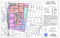
 Farish Street Existing Land Use Map. A map of the Farish Street Historic District with markers for different land uses: streets, railroads, utility corridors, hydrography, residential, government/institutional, industrial, commercial, and open space.
 -
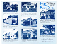
 Vernacular Architecture: A Self-Guided Walking Tour of the Farish Street Historic District (Front). A brochure for a walking tour of the Farish Street Historic District, containing a tour map and pictures of significant homes, churches, nightclubs, and other buildings in the District.
 -
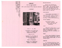
 "Memories" Oral and Photographic of Life in the Farish Street Historic District: A Workshop (Front). A brochure with pre-registration form for a workshop at Jackson State University. Participants can earn 3 hours of graduate and undergraduate credit.