-
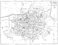 City of Topeka, Kansas Official Map, 1977-1978, with hand drawn markings by William Lamson.
 Case Data and Exhibits for Brown III, a relitigation of Brown v. Topeka Board of Education (1954) that corrected resegregation issues caused by open enrollment school choice in 1992. The map depicts the city of Topeka from 1977-1978 and William Lamson hand marked each grade school, junior high school, and high school on the map.
-
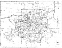 City of Topeka, Kansas Official Map, 1978-1979, with hand drawn markings by William Lamson.
 Case Data and Exhibits for Brown III, a relitigation of Brown v. Topeka Board of Education (1954) that corrected resegregation issues caused by open enrollment school choice in 1992. The map depicts the city of Topeka from 1978-1979 and William Lamson hand marked each grade school, junior high school, and high school on the map.
-
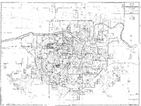 City of Topeka, Kansas Official Map, 1979-1980, with hand drawn markings by William Lamson.
 Case Data and Exhibits for Brown III, a relitigation of Brown v. Topeka Board of Education (1954) that corrected resegregation issues caused by open enrollment school choice in 1992. The map depicts the city of Topeka from 1979-1980 and includes hand drawn markers from William Lamson marking several structures.
-
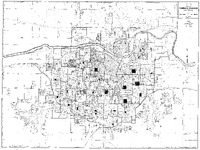 City of Topeka, Kansas Official Map,1980, with hand drawn markings by William Lamson.
 Case Data and Exhibits for Brown III, a relitigation of Brown v. Topeka Board of Education (1954) that corrected resegregation issues caused by open enrollment school choice in 1992. The map depicts the city of Topeka in 1980 and includes hand drawn markers from William Lamson marking several parts of neighborhoods in the county.
-
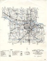 Map of Shawnee County, Kansas General Highway Map, 1973.
 Case Data and Exhibits for Brown III, a relitigation of Brown v. Topeka Board of Education (1954) that corrected resegregation issues caused by open enrollment school choice in 1992. The legend includes designations for each type of road in the county as well as road system designations.
-
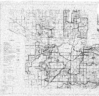 Map of Rural Water Districts of Shawnee County, Kansas, May 12, 1976.
 Case Data and Exhibits for Brown III, a relitigation of Brown v. Topeka Board of Education (1954) that corrected resegregation issues caused by open enrollment school choice in 1992. The legend breaks down all roads by type and marks boundaries by county, corporate limit, and section line and includes markers for, dwellings, schools, and more.
-
 Official Map City of Topeka, Kansas and Vicinity, overhead projector transparency.
 Case Data and Exhibits for Brown III, a relitigation of Brown v. Topeka Board of Education (1954) that corrected resegregation issues caused by open enrollment school choice in 1992. Overhead projector transparency of a map City of the city of Topeka, Kansas, and Vicinity.
-
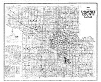 Map of Shawnee County, Kansas, 1983.
 Case Data and Exhibits for Brown III, a relitigation of Brown v. Topeka Board of Education (1954) that corrected resegregation issues caused by open enrollment school choice in 1992. Detailed maps on the left side show County Roads-Old and New in the northwest, northeast, and southeast sections of the county.
-
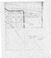 Map of City of Silver Lake, Kansas- Shawnee County.
 Case Data and Exhibits for Brown III, a relitigation of Brown v. Topeka Board of Education (1954) that corrected resegregation issues caused by open enrollment school choice in 1992. The map shows the city of Silver Lake, Kansas in Shawnee County as it stood in 1937.
-
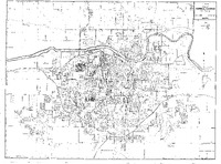 Official Map City of Topeka, Kansas and Vicinity, year unknown.
 Case Data and Exhibits for Brown III, a relitigation of Brown v. Topeka Board of Education (1954) that corrected resegregation issues caused by open enrollment school choice in 1992. The legend marks all boundaries and schools in Topeka and surrounding vicinity.
-
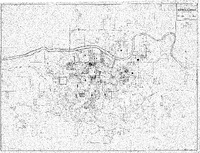 Official Map of Topeka, Kansas and Vicinity (1955) with hand drawn markings by William Lamson.
 Case Data and Exhibits for Brown III, a relitigation of Brown v. Topeka Board of Education (1954) that corrected resegregation issues caused by open enrollment school choice in 1992. The map includes hand drawn markings by William Lamson that mark different schools, homes, and sections of neighborhoods.
-
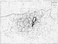 Official Map of Topeka, Kansas and Vicinity (1955) with hand drawn boundary markers by William Lamson.
 Case Data and Exhibits for Brown III, a relitigation of Brown v. Topeka Board of Education (1954) that corrected resegregation issues caused by open enrollment school choice in 1992. The map includes hand drawn neighborhood and school district boundary markers by William Lamson.
-
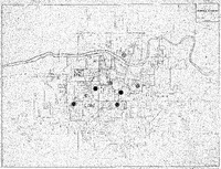 Official Map of Topeka, Kansas and Vicinity (1950-1954 ELRM. Gain/Loss Enroll), 1993.
 Case Data and Exhibits for Brown III, a relitigation of Brown v. Topeka Board of Education (1954) that corrected resegregation issues caused by open enrollment school choice in 1992. William Lamson used circle-shaped stickers to mark the locations of several schools on the map.
-
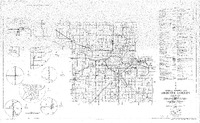 General Highway Map Shawnee County, Kansas, 1969.
 Case Data and Exhibits for Brown III, a relitigation of Brown v. Topeka Board of Education (1954) that corrected resegregation issues caused by open enrollment school choice in 1992. The legend marks roads and roadway features; public service facilities and more. The left-hand side of the map contains more detailed views of several communities.
-
 Official Map of Topeka, Kansas and Vicinity (Transparency), 1993.
 Case Data and Exhibits for Brown III, a relitigation of Brown v. Topeka Board of Education (1954) that corrected resegregation issues caused by open enrollment school choice in 1992. The legend marks all trade schools, junior high schools, and high schools in Topeka and the surrounding vicinity.
-
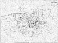 Official Map of Topeka, Kansas and Vicinity, 1993.
 Case Data and Exhibits for Brown III, a relitigation of Brown v. Topeka Board of Education (1954) that corrected resegregation issues caused by open enrollment school choice in 1992. The legend marks all elementary schools, trade schools, junior high schools, and high schools, as well as corporate limits in Topeka and the surrounding vicinity.
-
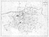 Official Map City of Topeka, Kansas and Vicinity (Transparency), 1993.
 Case Data and Exhibits for Brown III, a relitigation of Brown v. Topeka Board of Education (1954) that corrected resegregation issues caused by open enrollment school choice in 1992. The legend marks all elementary schools, trade schools, junior high schools, and high schools, as well as block boundaries in Topeka and the surrounding vicinity.
-
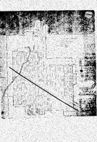 Map of Rossville Shawnee County, Kansas, 1993.
 Case Data and Exhibits for Brown III, a relitigation of Brown v. Topeka Board of Education (1954) that corrected resegregation issues caused by open enrollment school choice in 1992. The map includes streets, a stream, a city park, and a high school. School districts number 7 and 34 are marked on the map.
-
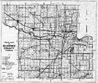 Road Map of Shawnee County, Kansas, December 1963.
 Case Data and Exhibits for Brown III, a relitigation of Brown v. Topeka Board of Education (1954) that corrected resegregation issues caused by open enrollment school choice in 1992. The legend marks township boundaries; railroads; public institutions; national roads, state roads, and township roads; and indicates roads that have been improved.
-
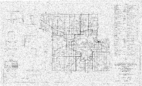 General Highway Map Shawnee County, Kansas, 1964.
 Case Data and Exhibits for Brown III, a relitigation of Brown v. Topeka Board of Education (1954) that corrected resegregation issues caused by open enrollment school choice in 1992. The legend marks roads and roadway features; airways and airports; drainage; structures; conservation and recreation; public service facilities and more.
-
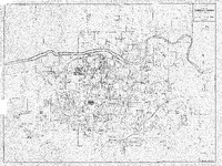 Official Map City of Topeka, Kansas and Vicinity, 1993.
 Case Data and Exhibits for Brown III, a relitigation of Brown v. Topeka Board of Education (1954) that corrected resegregation issues caused by open enrollment school choice in 1992. The map legend marks trade schools, junior high schools, and high schools as well as railroads, streams, and several boundaries and section lines.
-
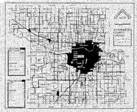 Map of Shawnee County Kansas, January 1, 1983.
 Case Data and Exhibits for Brown III, a relitigation of Brown v. Topeka Board of Education (1954) that corrected resegregation issues caused by open enrollment school choice in 1992. The map legend marks all major roadways, boundaries, parks, waterways, and railroads. There is also a table with population numbers for cities and townships.
-
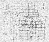 Road Map of Shawnee County, Kansas, October 12, 1977.
 Case Data and Exhibits for Brown III, a relitigation of Brown v. Topeka Board of Education (1954) that corrected resegregation issues caused by open enrollment school choice in 1992. Map includes state roads, county roads, township roads, and county, corporate limit, section line, and township boundaries.
 City of Topeka, Kansas Official Map, 1977-1978, with hand drawn markings by William Lamson. Case Data and Exhibits for Brown III, a relitigation of Brown v. Topeka Board of Education (1954) that corrected resegregation issues caused by open enrollment school choice in 1992. The map depicts the city of Topeka from 1977-1978 and William Lamson hand marked each grade school, junior high school, and high school on the map.
 City of Topeka, Kansas Official Map, 1978-1979, with hand drawn markings by William Lamson. Case Data and Exhibits for Brown III, a relitigation of Brown v. Topeka Board of Education (1954) that corrected resegregation issues caused by open enrollment school choice in 1992. The map depicts the city of Topeka from 1978-1979 and William Lamson hand marked each grade school, junior high school, and high school on the map.
 City of Topeka, Kansas Official Map, 1979-1980, with hand drawn markings by William Lamson. Case Data and Exhibits for Brown III, a relitigation of Brown v. Topeka Board of Education (1954) that corrected resegregation issues caused by open enrollment school choice in 1992. The map depicts the city of Topeka from 1979-1980 and includes hand drawn markers from William Lamson marking several structures.
 City of Topeka, Kansas Official Map,1980, with hand drawn markings by William Lamson. Case Data and Exhibits for Brown III, a relitigation of Brown v. Topeka Board of Education (1954) that corrected resegregation issues caused by open enrollment school choice in 1992. The map depicts the city of Topeka in 1980 and includes hand drawn markers from William Lamson marking several parts of neighborhoods in the county.
 Map of Shawnee County, Kansas General Highway Map, 1973. Case Data and Exhibits for Brown III, a relitigation of Brown v. Topeka Board of Education (1954) that corrected resegregation issues caused by open enrollment school choice in 1992. The legend includes designations for each type of road in the county as well as road system designations.
 Map of Rural Water Districts of Shawnee County, Kansas, May 12, 1976. Case Data and Exhibits for Brown III, a relitigation of Brown v. Topeka Board of Education (1954) that corrected resegregation issues caused by open enrollment school choice in 1992. The legend breaks down all roads by type and marks boundaries by county, corporate limit, and section line and includes markers for, dwellings, schools, and more.
 Official Map City of Topeka, Kansas and Vicinity, overhead projector transparency. Case Data and Exhibits for Brown III, a relitigation of Brown v. Topeka Board of Education (1954) that corrected resegregation issues caused by open enrollment school choice in 1992. Overhead projector transparency of a map City of the city of Topeka, Kansas, and Vicinity.
 Map of Shawnee County, Kansas, 1983. Case Data and Exhibits for Brown III, a relitigation of Brown v. Topeka Board of Education (1954) that corrected resegregation issues caused by open enrollment school choice in 1992. Detailed maps on the left side show County Roads-Old and New in the northwest, northeast, and southeast sections of the county.
 Map of City of Silver Lake, Kansas- Shawnee County. Case Data and Exhibits for Brown III, a relitigation of Brown v. Topeka Board of Education (1954) that corrected resegregation issues caused by open enrollment school choice in 1992. The map shows the city of Silver Lake, Kansas in Shawnee County as it stood in 1937.
 Official Map City of Topeka, Kansas and Vicinity, year unknown. Case Data and Exhibits for Brown III, a relitigation of Brown v. Topeka Board of Education (1954) that corrected resegregation issues caused by open enrollment school choice in 1992. The legend marks all boundaries and schools in Topeka and surrounding vicinity.
 Official Map of Topeka, Kansas and Vicinity (1955) with hand drawn markings by William Lamson. Case Data and Exhibits for Brown III, a relitigation of Brown v. Topeka Board of Education (1954) that corrected resegregation issues caused by open enrollment school choice in 1992. The map includes hand drawn markings by William Lamson that mark different schools, homes, and sections of neighborhoods.
 Official Map of Topeka, Kansas and Vicinity (1955) with hand drawn boundary markers by William Lamson. Case Data and Exhibits for Brown III, a relitigation of Brown v. Topeka Board of Education (1954) that corrected resegregation issues caused by open enrollment school choice in 1992. The map includes hand drawn neighborhood and school district boundary markers by William Lamson.
 Official Map of Topeka, Kansas and Vicinity (1950-1954 ELRM. Gain/Loss Enroll), 1993. Case Data and Exhibits for Brown III, a relitigation of Brown v. Topeka Board of Education (1954) that corrected resegregation issues caused by open enrollment school choice in 1992. William Lamson used circle-shaped stickers to mark the locations of several schools on the map.
 General Highway Map Shawnee County, Kansas, 1969. Case Data and Exhibits for Brown III, a relitigation of Brown v. Topeka Board of Education (1954) that corrected resegregation issues caused by open enrollment school choice in 1992. The legend marks roads and roadway features; public service facilities and more. The left-hand side of the map contains more detailed views of several communities.
 Official Map of Topeka, Kansas and Vicinity (Transparency), 1993. Case Data and Exhibits for Brown III, a relitigation of Brown v. Topeka Board of Education (1954) that corrected resegregation issues caused by open enrollment school choice in 1992. The legend marks all trade schools, junior high schools, and high schools in Topeka and the surrounding vicinity.
 Official Map of Topeka, Kansas and Vicinity, 1993. Case Data and Exhibits for Brown III, a relitigation of Brown v. Topeka Board of Education (1954) that corrected resegregation issues caused by open enrollment school choice in 1992. The legend marks all elementary schools, trade schools, junior high schools, and high schools, as well as corporate limits in Topeka and the surrounding vicinity.
 Official Map City of Topeka, Kansas and Vicinity (Transparency), 1993. Case Data and Exhibits for Brown III, a relitigation of Brown v. Topeka Board of Education (1954) that corrected resegregation issues caused by open enrollment school choice in 1992. The legend marks all elementary schools, trade schools, junior high schools, and high schools, as well as block boundaries in Topeka and the surrounding vicinity.
 Map of Rossville Shawnee County, Kansas, 1993. Case Data and Exhibits for Brown III, a relitigation of Brown v. Topeka Board of Education (1954) that corrected resegregation issues caused by open enrollment school choice in 1992. The map includes streets, a stream, a city park, and a high school. School districts number 7 and 34 are marked on the map.
 Road Map of Shawnee County, Kansas, December 1963. Case Data and Exhibits for Brown III, a relitigation of Brown v. Topeka Board of Education (1954) that corrected resegregation issues caused by open enrollment school choice in 1992. The legend marks township boundaries; railroads; public institutions; national roads, state roads, and township roads; and indicates roads that have been improved.
 General Highway Map Shawnee County, Kansas, 1964. Case Data and Exhibits for Brown III, a relitigation of Brown v. Topeka Board of Education (1954) that corrected resegregation issues caused by open enrollment school choice in 1992. The legend marks roads and roadway features; airways and airports; drainage; structures; conservation and recreation; public service facilities and more.
 Official Map City of Topeka, Kansas and Vicinity, 1993. Case Data and Exhibits for Brown III, a relitigation of Brown v. Topeka Board of Education (1954) that corrected resegregation issues caused by open enrollment school choice in 1992. The map legend marks trade schools, junior high schools, and high schools as well as railroads, streams, and several boundaries and section lines.
 Map of Shawnee County Kansas, January 1, 1983. Case Data and Exhibits for Brown III, a relitigation of Brown v. Topeka Board of Education (1954) that corrected resegregation issues caused by open enrollment school choice in 1992. The map legend marks all major roadways, boundaries, parks, waterways, and railroads. There is also a table with population numbers for cities and townships.
 Road Map of Shawnee County, Kansas, October 12, 1977. Case Data and Exhibits for Brown III, a relitigation of Brown v. Topeka Board of Education (1954) that corrected resegregation issues caused by open enrollment school choice in 1992. Map includes state roads, county roads, township roads, and county, corporate limit, section line, and township boundaries.