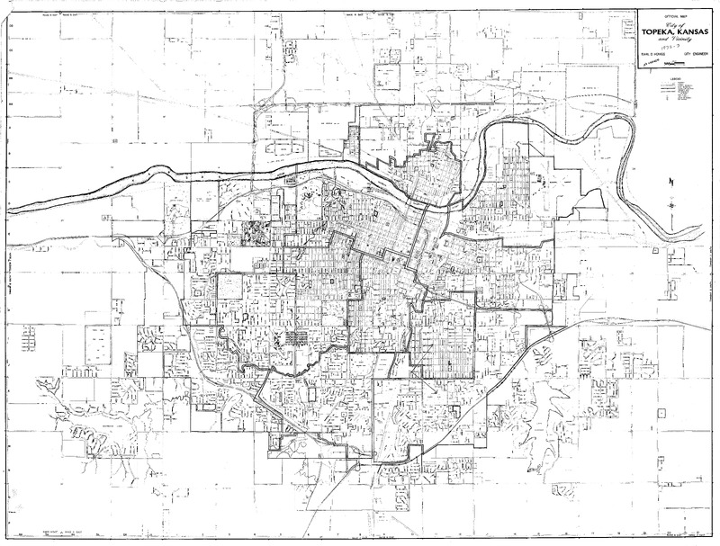
City of Topeka, Kansas Official Map, 1972-1973, with hand drawn markings by William Lamson and a hand written note that says "No Change."
Item
-
Title
-
City of Topeka, Kansas Official Map, 1972-1973, with hand drawn markings by William Lamson and a hand written note that says "No Change."
-
Date
-
1972-1973
-
Creator
-
Earl D. Honigs
-
Contributor
-
William Lamson, 1941-1992
-
Description
-
Case Data and Exhibits for Brown III, a relitigation of Brown v. Topeka Board of Education (1954) that corrected resegregation issues caused by open enrollment school choice in 1992. The map depicts the city of Topeka from 1972-1973 and includes markers by William Lamson marking several structures and a handwritten note that says “No Change.”
-
Primary Subject
-
1900-1999
-
Education
-
Law
-
Politics
-
Additional Subject
-
American Civil Liberties Union
-
Desegregation
-
Location
-
Topeka
-
Shawnee County
-
Kansas
-
United States
-
Type
-
Map
-
Measurements
-
37 in x 27.5 in
-
Format
-
JPEG
-
HBCU Identifier
-
mwchcac.ar.2022.map0467
-
HCAC Identifier
-
HCAC.JSU.0171
-
Rights
-
All rights held by the Margaret Walker Center. For permission to publish, distribute, or use this image for any other purpose, please contact Margaret Walker Center, Jackson State University, 601-979-3935 Attn: Center Director
-
Contributing Institution
-
Jackson State University
-
Collection
-
William D. Lamson Manuscript Collection

